Tracking Traffic for the Public Good
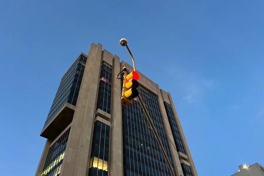
Over the last several months, controversy over the privacy risks posed by Flock traffic cameras has inspired a range of interventions, from individuals knocking the cameras down in Minneapolis to "paintbombing" them in Oakland, CA. In Texas, Republican Governor Greg Abbott recently ordered a pause in state spending on the cameras, while a bipartisan Congressional bill unveiled in September aimed to prohibit the use of federal funding to purchase, maintain or upgrade the cameras.
Not all traffic cameras–or uses of their footage–are created equal, however. In New York City, so-called "red light cameras" have been proven to substantially reduce crashes. While estimating vehicle speeds can be accomplished using simple wireless signals, measuring traffic volume—the number and path of vehicles moving through the city's streets and intersections—is a far more complex task.
Accurately and efficiently measuring traffic volume can support crucial decision-making about how to improve transportation infrastructure and public safety, but historically, gathering the data was a labor-intensive process.
“Very often [volume measurement is] done in a relatively manual way,” said Andrew Smyth, Professor of Civil Engineering and Engineering Mechanics at Columbia University.
"Coming up with a way to accurately estimate the volumes on each road segment and also the [vehicle] turning decisions that could be really valuable for traffic road designers, but also for any kind of urban development policy decisions [like]... evacuation routes," Smyth added.
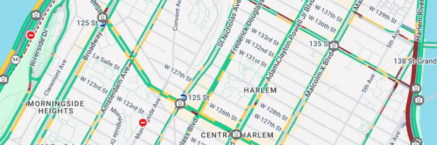
For several years, Smyth and his collaborators, Mehmet Turkcan and Antonina Kosikova, have been working to develop new ways to accurately measure traffic volume in New York City. In partnership with community groups, the New York City Department of Transportation (NYCDOT), the transportation software company INRIX, and Empire AI, Smyth and his team have found a way to combine select vehicle tracking data with limited traffic camera footage to develop a new approach for estimating traffic volume across New York City.
Limited Footage, Big Impact
Unlike the approaches often used by private companies, Smyth’s research doesn't use traffic-camera data to identify individual vehicles. Instead, the footage is used to complement other data sources and validate broader patterns of movement.
For example, GPS data shared by INRIX offered broad geographic range, but covered only a small fraction of the vehicles actually travelling on city streets. Because the INRIX data is not representative, simply scaling the patterns it contains would not produce an accurate portrait of traffic flows, which can vary substantially according to time of day, area of the city or season.
“Upscaling [the data] is not spatially or temporally a static thing,” Smyth said.
To ensure the validity of the data model, Smyth's team needed to compare their computational predictions with real-world data: high-resolution traffic camera footage shared with them by NYCDOT.
“Normally New York City doesn’t record its traffic camera feeds, so they recorded some just for us,” Smyth said.
With just over one week of footage and access to Empire AI computing resources, Smyth and his team trained a custom computer vision model on a subset of the camera feeds, and then used the model to predict traffic flows in northern Manhattan. Comparing their predictions with data from locations that had been withheld from the training process showed that the system could predict real traffic volume with at least 84%–and up to 95%–accuracy. The bespoke model even incorporated physical constraints, roadway capacity limits, and congestion effects that proved highly consistent with real-world traffic patterns–all with less than two weeks of actual traffic footage.
Expanding Street Safety through Smart Camera Use
In January 2026, after being selected as one of INRIX's MetroLab Challenge Finalists in 2025, the team presented their findings, which were also cited in New York City’s Streamlining Procedures to Expedite Equitable Development (SPEED) report as a way to potentially expedite the environmental review processes required for construction projects throughout the city, including those intended to expand affordable housing.
This work is also part of broader research effort made possible by the Center for Smart Streetscapes (CS3), a National Science Foundation Engineering Research Center led by Columbia University that brings together researchers, government agencies, industry and community partners to develop and test technologies for safer, more livable streets.
In a related project, Smyth and his collaborators are working with the NYCDOT to validate hypotheses about how to design safer intersections and other roadway features.
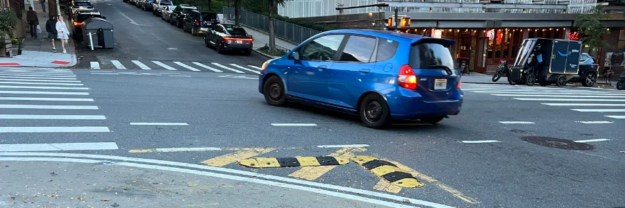
"All over New York they're putting these big concrete blocks in the middle of the road and bike lanes and bumping out the curbs," said Smyth. "A lot of that's based on a kind of hypothesis that [it] should be safer. But we're trying to help them quantify the actual behaviors that [it] might lead to."
To help ensure that traffic-camera footage in New York City continues to be used in the public interest, Smyth and his team are deepening their collaboration with DOT to help the agency build its own internal analytics capacities.
"It's exciting because we can help them build something really useful that's going to last for a long time," Smyth said.
Lili Cortes Gutierrez is a 2026-2027 Journalism Fellow with the Data Science Institute.
Editing by Susan E. McGregor.